


Everything integrated into one user interface
The biggest benefit I see in GeoHECRAS is not having to go back and forth between AutoCAD Civil 3D and HEC‑RAS. You can load your Civil 3D drawing file into GeoHECRAS and work directly on the AutoCAD drawing. Then, if you decide to change where a cross section is to be located, it is easy to make that change. Also, when you need to insert an additional cross section, it is as easy as drawing a polyline. GeoHECRAS incorporates the AutoCAD drawing file directly into the HEC‑RAS model. You can make a change to your model, and immediately see the impact of that change.
With the way I did HEC‑RAS modeling before, I had to draw my cross sections in AutoCAD Civil 3D and then manipulate them in order to get them into HEC‑RAS. If I had any changes that I needed to make to the cross-sections, I would basically have to start all over again in Civil 3D, re-export the file and re-enter all other HEC‑RAS inputs. This caused me to waste a lot of time in my work.
Overall, GeoHECRAS saves me a lot of time in my HEC‑RAS modeling by allowing me to work directly with my AutoCAD Civil 3D drawings.
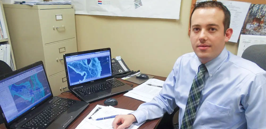
Donald P. Verobish, P.E.
Senior Engineer
Gwin, Dobson & Foreman, Inc.
Altoona, PA
Senior Engineer
Gwin, Dobson & Foreman, Inc.
Altoona, PA

 Back
Back
CivilGEO G2 Reviews
4.8/5.0 Rating, Over 230 Reviews

GeoHECRAS is recognized as the top Civil Engineering Design Software with an average of 4.8 out of 5.0 rating from over 230 real user reviews on G2.


Reach us on WhatsApp at


